St Andrews Bay Local Travel Map
- Collections
- Edition
- 1
- Published
- Access
- Restricted
Produced by the Mapping and Geographic Information Centre, British Antarctic Survey, 2025, version 1, https://data.bas.ac.uk/maps/2030.
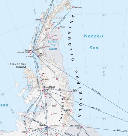
Map of St Andrews Bay, South Georgia. Includes contours, spot heights, land cover information and locations of paths, field huts and GPS waypoints. Projection: South Georgia Lambert Conformal Conic, central meridian 36° 14' W
This is a licence summary, see the Formal Licence External link, opens in a new window. for more information.
Bounding Coordinates
- South-West Corner (min x/y)
- South: -54.467778, West: -36.359722
- North-East Corner (max x/y)
- North: -54.343056, East: -36.051667
Temporal Range
- Start
- End
- -
Lineage Statement
Map produced in ArcGIS Pro v2.9. Data sources:
- Operations data : sourced from BAS Operations, 2022
- Land Cover: Rock and vegetation derived from Landsat ETM photography (2003) and is approximate. Ice and moraines taken from South Georgia GIS, accessed November 2022.
- Coastline has been adjusted to 2021 imagery.
- Lakes and rivers: taken from South Georgia GIS, accessed November 2022.
- Hillshade and Contours: generated from the 2m Reference Elevation Model of Antarctica (REMA v2)produced by the Polar Geospatial Center (Howat, Ian, et al., 022, ""The Reference Elevation Model of Antarctica - Mosaics, Version 2"", https://doi.org/10.7910/DVN/EBWBUC, Harvard Dataverse, V1, Accessed 31/10/22).
- Place names: selected from the South Georgia and South Sandwich Islands (SGSSI) gazetteer, accessed December 2022
Part of these collections
A collection of maps produced for BAS Operations activities by the Mapping and Geographic Information Centre, British Antarctic Survey.
Item Information
- Item ID
- 3645e3c9-da60-4560-bbd7-4e85141960fa
- Item Type
- PRODUCT (MAP)
- Series
- BAS Local Travel Maps
- Scale
- 1:50,000
- Page Size
- 297 x 420 mm (width x height)
- Aliases
- Item edition
- 1
- Item Created
- Item Published
- Item Released
- Item Status
- Item is complete and recommended for general use
- Item Update Frequency
- Item may be updated if needed
Metadata Information
- Last updated
- Metadata Standard
- ISO 19115-2 Geographic Information - Metadata - Part 2: Extensions for Imagery and Gridded Data
- Metadata Standard Version
- ISO 19115-2:2009(E)
- Metadata Profiles
- British Antarctic Survey (BAS) Mapping and Geographic Information Centre (MAGIC) Discovery Metadata Profile (v2) External link, opens in a new window.
- British Antarctic Survey (BAS) Mapping and Geographic Information Centre (MAGIC) Administration Metadata Profile (v1) External link, opens in a new window.
- Metadata Licence
- Creative Commons Attribution-NoDerivatives 4.0 International External link, opens in a new window.
- Metadata Links
- Item page build time
Alternative contact methods
By post
British Antarctic SurveyHigh Cross
Madingley Road
Cambridge
Cambridgeshire
CB3 0ET
United Kingdom
By phone
By email
Privacy Notice
If you contact us, your personal information will be retained for up to three years and then deleted. It will only be used to contact you regarding your enquiry. If this item relates to an external organisation, we may share an anonymised version of your enquiry with them to help answer your query.
We use Cloudflare Turnstile, a third-party service, to protect against spam enquires.
See our privacy policy for more information.