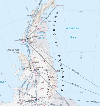
Signy Ice Cap Travel Area Map
- Collections
- Edition
- 1
- Published
- Access
- Restricted
Produced by the Mapping and Geographic Information Centre, British Antarctic Survey, 2025, version 1, https://data.bas.ac.uk/maps/2016.
Topographic Map of Signy Island, showing contours, spot heights, locations of huts, routes and ice cap travel area. Projection: Lambert Conformal Conic, standard parallels at 60°41’S and 60°44’S, central meridian at 45°38’W, horizontal datum: WGS84. Vertical datum: Mean Sea Level (MSL) at Signy Research Station. MSL as defined by the tide gauge at the station. To transform data from WGS84 to Signy MSL, apply a local correction factor of -32.235 m (MSL is below WGS84).
This is a licence summary, see the Formal Licence External link, opens in a new window. for more information.
Bounding Coordinates
- South-West Corner (min x/y)
- South: -60.7310353, West: -45.6558713
- North-East Corner (max x/y)
- North: -60.6974804, East: -45.5968964
Temporal Range
- Start
- End
- -
Lineage Statement
Map produced in ArcGIS Pro 3.3.
- Operations data : sourced from BAS Field Operations, 2025.
- Coastline: Gerrish, L., Ireland, L., Fretwell, P., & Cooper, P. (2024). High resolution vector polylines of the Antarctic coastline (7.9). UK Polar Data Centre, Natural Environment Research Council, UK Research & Innovation. https://doi.org/10.5285/45c3cc90-098b-45e3a809-16b80eed4ec2
- Contours and Hillshade: derived from a Digital Elevation Model produced from a stereo-pair of WorldView-3 satellite images acquired March 2015. Satellite imagery © 2015 Maxar Technologies.
- Spot Heights: derived photogrammetrically from the above stereo-pair of images.
- Survey Points: BAS GPS Survey, February 2002.
- Rock outcrop, moraine, ice, lakes and streams: interpreted from a WorldView-2 satellite image acquired February 2020. Satellite imagery © 2020 Maxar Technologies.
- Crevasses: interpreted from the above image, and from local knowledge, 2024.
- Bathymetry: Isobaths, shoal areas, unsurveyed area and offshore rocks: reproduced from Admiralty Chart 1779 Approaches to Signy Island © Crown Copyright and/or database rights. Reproduced by permission of The Keeper of Public Records and the UK Hydrographic Office (www.ukho.gov.uk/copyright). Additional offshore rocks shown when clearly visible in the February 2020 satellite image cited above.
- Place names: selected from the Antarctic Place-names Committee Gazetteer, apc.antarctica.ac.uk, accessed February 2025.
Part of these collections
A collection of maps produced for BAS Operations activities by the Mapping and Geographic Information Centre, British Antarctic Survey.
Item Information
- Item ID
- 6248f1e7-2dd3-4f78-abc2-b2110ddd4b62
- Item Type
- PRODUCT (MAP)
- Series
- BAS Local Travel Maps
- Scale
- 1:16,500
- Page Size
- A4 Landscape
- Aliases
- Item edition
- 1
- Item Created
- Item Published
- Item Released
- Item Status
- Item is a draft and should not yet be used
- Item Update Frequency
- Item may be updated if needed
Metadata Information
- Last updated
- Metadata Standard
- ISO 19115-2 Geographic Information - Metadata - Part 2: Extensions for Imagery and Gridded Data
- Metadata Standard Version
- ISO 19115-2:2009(E)
- Metadata Profiles
- British Antarctic Survey (BAS) Mapping and Geographic Information Centre (MAGIC) Discovery Metadata Profile (v2) External link, opens in a new window.
- British Antarctic Survey (BAS) Mapping and Geographic Information Centre (MAGIC) Administration Metadata Profile (v1) External link, opens in a new window.
- Metadata Licence
- Creative Commons Attribution-NoDerivatives 4.0 International External link, opens in a new window.
- Metadata Links
- Item page build time
Alternative contact methods
By post
British Antarctic SurveyHigh Cross
Madingley Road
Cambridge
Cambridgeshire
CB3 0ET
United Kingdom
By phone
By email
Privacy Notice
If you contact us, your personal information will be retained for up to three years and then deleted. It will only be used to contact you regarding your enquiry. If this item relates to an external organisation, we may share an anonymised version of your enquiry with them to help answer your query.
We use Cloudflare Turnstile, a third-party service, to protect against spam enquires.
See our privacy policy for more information.