South Georgia
- One side of
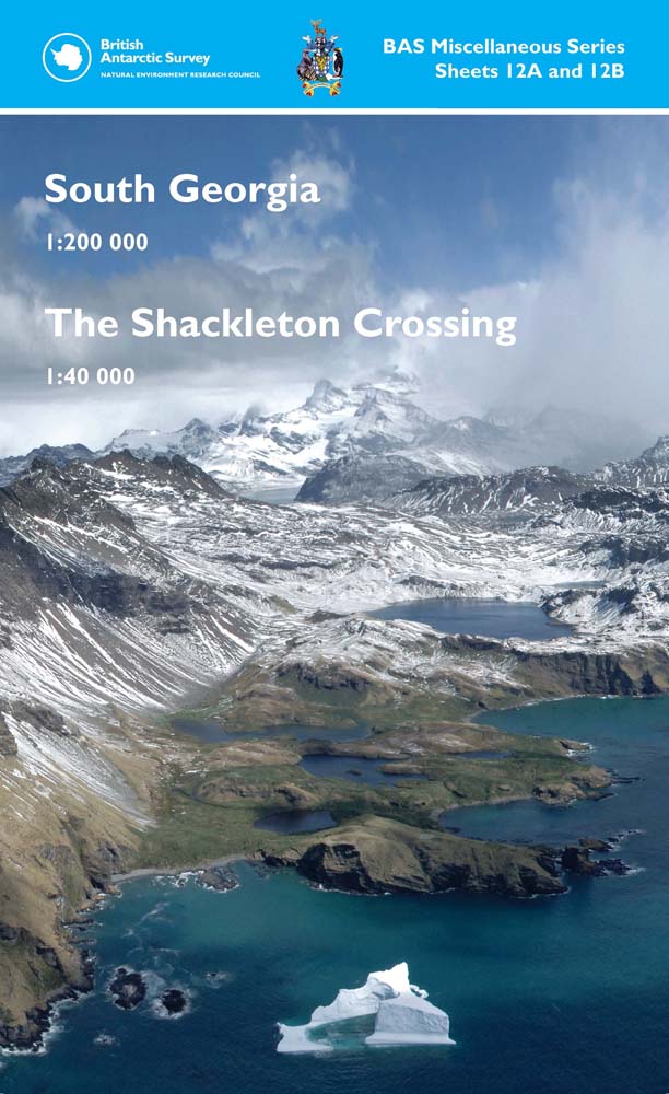
- South Georgia and The Shackleton Crossing
- Edition
- 3
- Published
British Antarctic Survey, 2021. South Georgia, 1:200 000 scale map. BAS Miscellaneous Series, Sheet 12A, Edition 3. Cambridge, British Antarctic Survey.
This is side A of a double-sided map. The map covers South Georgia at 1:200 000 scale. It shows topographic information including: coastline and offshore rocks; bathymetry; rock exposure and moraine; elevation information such as contours and selected mountain summit heights; place names; scientific research stations and abandoned whaling stations.