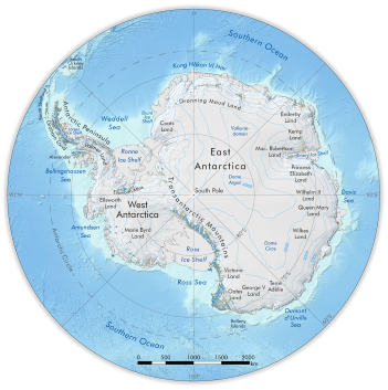
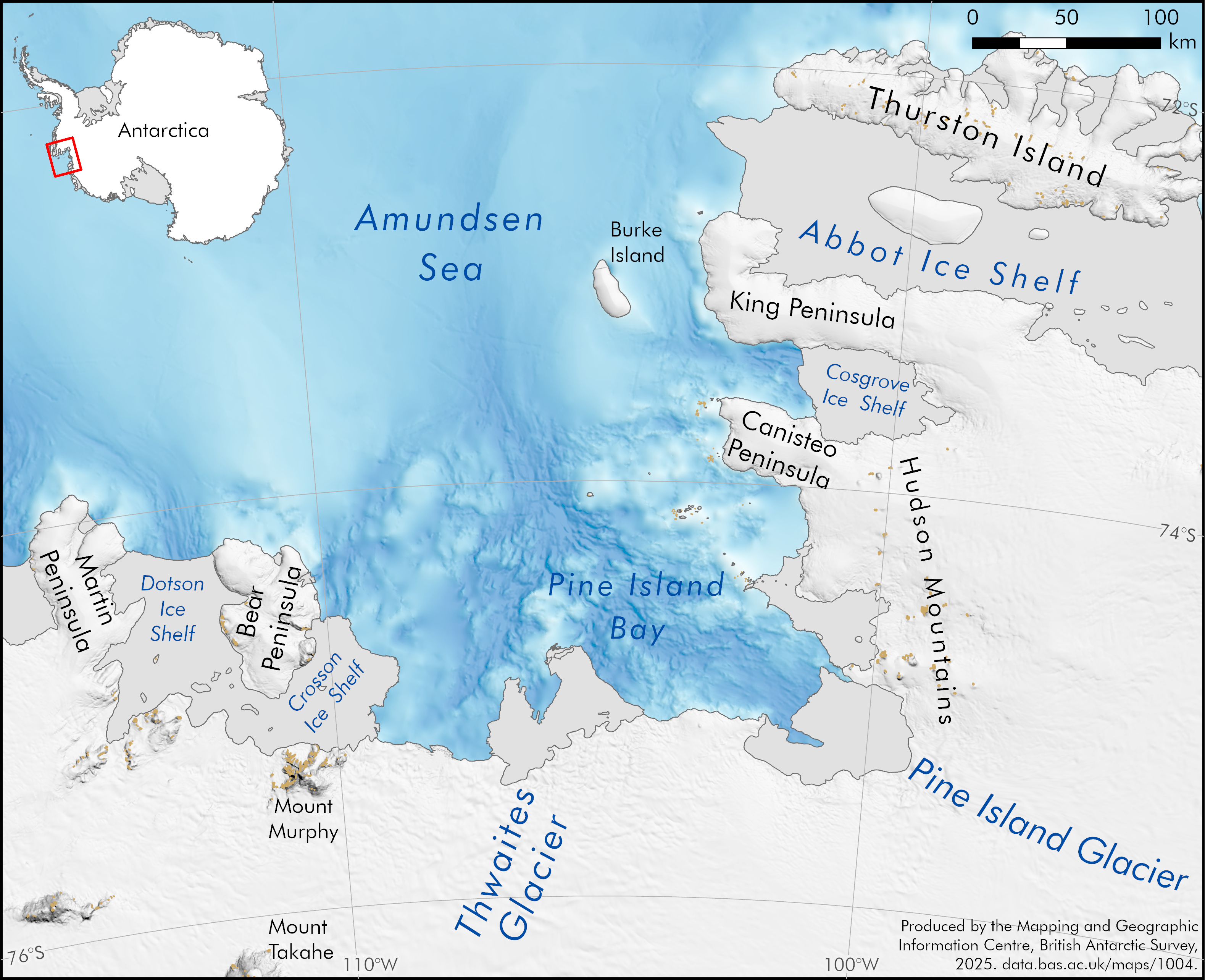
Amundsen Sea / Pine Island Bay overview map
- Collections
- Edition
- 1
- Published
Produced by the Mapping and Geographic Information Centre, British Antarctic Survey, 2025, version 1, https://data.bas.ac.uk/maps/1004.
A map covering a section of the Amundsen Sea region, including Thwaites and Pine Island glaciers flowing into Pine Island Bay. Shaded bathymetry is shown with a blue colour ramp, and a hillshade and rock outcrop are shown on land. Selected place names are also included. The map contains a small inset outline of Antarctica, indicating the location of the main map within Antarctica.
Map projection: WGS84 Antarctic Polar Stereographic: Central Meridian 105°W, Standard Parallel 71°S.
Data sources and references can be found in the lineage.