High resolution Antarctic moraine dataset
- Collections
- Edition
- 7.10
- Published
Gerrish, L., Fretwell, P., & Cooper, P. (2024). High resolution Antarctic moraine dataset (Version 7.10) [Data set]. NERC EDS UK Polar Data Centre. https://doi.org/10.5285/bc9dbcff-a485-4e06-83d4-889d263c7ba2
If using for a graphic or if short on space, please cite as 'Data from the SCAR Antarctic Digital Database, 2024'.
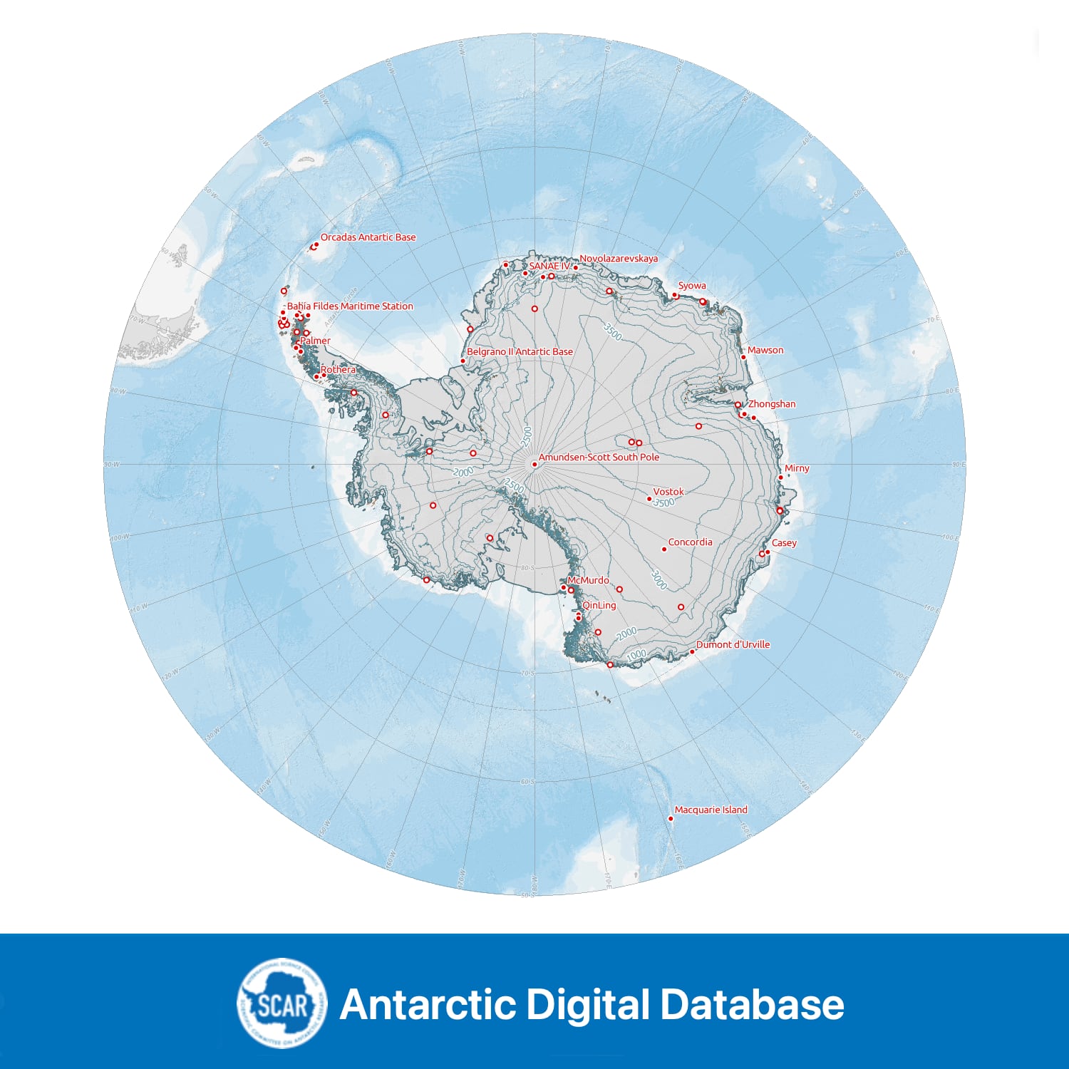
An incomplete dataset of moraine in Antarctica. Data have been prepared from various map and remotely sensed datasets.
Changes in v7.10 include new data for the South Orkney Islands and the correction of some erroneous polygons.
Data compiled, managed and distributed by the Mapping and Geographic Information Centre and the UK Polar Data Centre, British Antarctic Survey on behalf of the Scientific Committee on Antarctic Research.
Add this item to a desktop or online GIS that supports ArcGIS Feature Services External link, opens in a new window..
- Service Endpoint
https://services7.arcgis.com/tPxy1hrFDhJfZ0Mf/arcgis/rest/services/High_resolution_Antarctic_moraine/FeatureServer
Add this item to a desktop or online GIS that supports ArcGIS Vector Tiles External link, opens in a new window..
- Service Endpoint
https://tiles.arcgis.com/tiles/tPxy1hrFDhJfZ0Mf/arcgis/rest/services/add_moraine_high_res_polygon_vt/VectorTileServer
This is a licence summary, see the Formal Licence External link, opens in a new window. for more information.
Bounding Coordinates
- South-West Corner (min x/y)
- South: -90.0, West: -180.0
- North-East Corner (max x/y)
- North: -60.0, East: 180.0
Temporal Range
- Start
- End
Lineage Statement
Data compiled from various mapping and remote sensing sources. Exact data sources are currently missing from the attribute table for the majority of data – the large majority was compiled in 1993 and digitized from the USGS 1:250k reconnaissance series maps dating from 1960s-1990s and DOS 1:250k series maps dating from 1960s and 1970s. Exact data sources can be provided on request in the format of vector lines.
The data newly added for the v7.10 release (South Orkney Islands) was digitised from Sentinel-2 and WorldView-3 satellite images. The exact image IDs and acquisition dates can be found in the attribute table of the dataset.
Please note: due to the versioning of the ADD, there are no versions 7.4-7.9 for this specific dataset.
Replaces

Moraine features in Antarctica derived from maps and remote sensing data. Incomplete.
Part of these collections
Seamless topographic datasets of Antarctica south of 60°S. Compiled from the best available geographic information on behalf of the Scientific Committee on Antarctic Research (SCAR).
Item Information
- Item ID
- bc9dbcff-a485-4e06-83d4-889d263c7ba2
- Item Type
- DATASET
- Item edition
- 7.10
- Item Created
- Item Published
- Item Updated
- Item Released
- Item Status
- Item is complete and recommended for general use
- Item Update Frequency
- Item may be updated if needed
Metadata Information
- Last updated
- Metadata Standard
- ISO 19115-2 Geographic Information - Metadata - Part 2: Extensions for Imagery and Gridded Data
- Metadata Standard Version
- ISO 19115-2:2009(E)
- Metadata Profiles
- British Antarctic Survey (BAS) Mapping and Geographic Information Centre (MAGIC) Discovery Metadata Profile (v2) External link, opens in a new window.
- British Antarctic Survey (BAS) Mapping and Geographic Information Centre (MAGIC) Administration Metadata Profile (v1) External link, opens in a new window.
- Metadata Licence
- Creative Commons Attribution-NoDerivatives 4.0 International External link, opens in a new window.
- Metadata Links
- Item page build time
Alternative contact methods
By post
British Antarctic SurveyHigh Cross
Madingley Road
Cambridge
Cambridgeshire
CB3 0ET
United Kingdom
By phone
By email
Privacy Notice
If you contact us, your personal information will be retained for up to three years and then deleted. It will only be used to contact you regarding your enquiry. If this item relates to an external organisation, we may share an anonymised version of your enquiry with them to help answer your query.
We use Cloudflare Turnstile, a third-party service, to protect against spam enquires.
See our privacy policy for more information.