Antarctic Place Name Labels
- Collections
- Edition
- 1
- Published
Produced by the Mapping and Geographic Information Centre, British Antarctic Survey, 2026, version 1, https://data.bas.ac.uk/maps/ed68cbed-8d56-4e52-905a-ee7d4698572e.
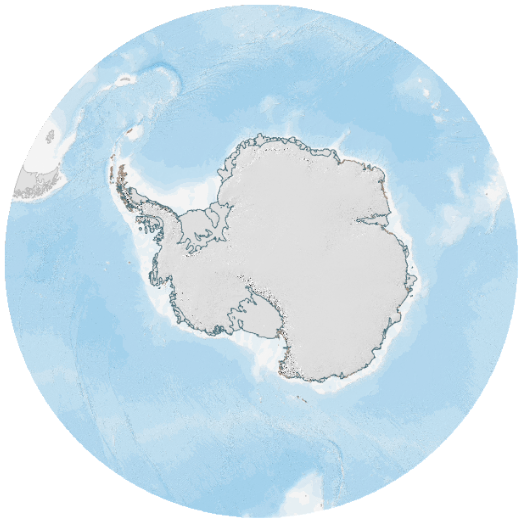
Vector tile layer containing styled place names labels for Antarctica. The names are chosen to represent features and regions on a large scale. Names representing smaller scale features are not included.
The names are assigned a level. Those names which represent features at the largest scales are assigned levels 0 and 1. These will be visible at larger scale zoom levels. All other names are assigned level 2 and 3, and these appear once the user zooms far enough that the names can be discernable.
Projection: WGS84 Antarctic Polar Stereographic.