Sentinel-2 mosaic of the BAT
- Collections
- Edition
- 24/25
- Published
Skachkova, A. (2025). Sentinel-2 mosaic of the BAT (Version 24/25) [Data set]. BAS Mapping and Geographic Information Centre. https://data.bas.ac.uk/datasets/sentinel-2-mosaic-of-the-bat.
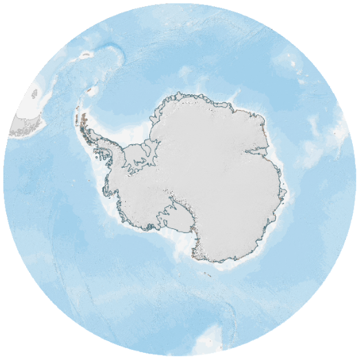
Sentinel-2 mosaic, covering the British Antarctic Territory, generated from cloud-free pixels of Sentinel-2 images, acquired during the 2024-2025 Antarctic season, displayed as True-Colour synthesis. Mosaic has a spatial resolution of 10m.
Add this item to a desktop or online GIS that supports ArcGIS Raster (Map) Tiles External link, opens in a new window..
- Service Endpoint
https://tiles.arcgis.com/tiles/tPxy1hrFDhJfZ0Mf/arcgis/rest/services/S2_mosaic_2425_BAT_RGBAlpha_EPSG_3031/MapServer
This is a licence summary, see the Formal Licence External link, opens in a new window. for more information.
Bounding Coordinates
- South-West Corner (min x/y)
- South: -82.5, West: -80.0
- North-East Corner (max x/y)
- North: -60.0, East: -20.0
Temporal Range
- Start
- End
Lineage Statement
Mosaic was generated by averaging cloud-free pixels of Sentinel-2 images, acquired from 2024-11-01 to 2025-04-01, using Google Earth Engine COPERNICUS/S2_HARMONIZED and GOOGLE/CLOUD_SCORE_PLUS/V1/S2_HARMONIZED datasets.
A 0.75 threshold was applied for filtering cloudy pixels. After the export of the tiled mosaic, tiles were converted to 8-bit RGB rasters, using Red, Green, and Blue (B04, B03, B02), bands and Alpha-layer and stretched between 2 and 98 percentiles of pixels values.
Google Earth Engine reference script.
Contains Copernicus Sentinel-2 data 2024-2025 processed by Google Earth Engine.
Part of these collections
A collection of geospatial datasets and basemaps of Antarctica published by the British Antarctic Survey's Mapping and Geographic Information Centre (MAGIC).
Item Information
- Item ID
- efcff934-3480-4759-9caa-dd8b9b7b6286
- Item Type
- DATASET
- Item edition
- 24/25
- Item Created
- Item Published
- Item Released
- Item Status
- Item is complete and recommended for general use
- Item Update Frequency
- Item may be updated if needed
Metadata Information
- Last updated
- Metadata Standard
- ISO 19115-2 Geographic Information - Metadata - Part 2: Extensions for Imagery and Gridded Data
- Metadata Standard Version
- ISO 19115-2:2009(E)
- Metadata Profiles
- British Antarctic Survey (BAS) Mapping and Geographic Information Centre (MAGIC) Discovery Metadata Profile (v2) External link, opens in a new window.
- British Antarctic Survey (BAS) Mapping and Geographic Information Centre (MAGIC) Administration Metadata Profile (v1) External link, opens in a new window.
- Metadata Licence
- Creative Commons Attribution-NoDerivatives 4.0 International External link, opens in a new window.
- Metadata Links
- Item page build time
Alternative contact methods
By post
British Antarctic SurveyHigh Cross
Madingley Road
Cambridge
Cambridgeshire
CB3 0ET
United Kingdom
By phone
By email
Privacy Notice
If you contact us, your personal information will be retained for up to three years and then deleted. It will only be used to contact you regarding your enquiry. If this item relates to an external organisation, we may share an anonymised version of your enquiry with them to help answer your query.
We use Cloudflare Turnstile, a third-party service, to protect against spam enquires.
See our privacy policy for more information.