BAS Geological Maps
- Collections
- Edition
- 8
- Published
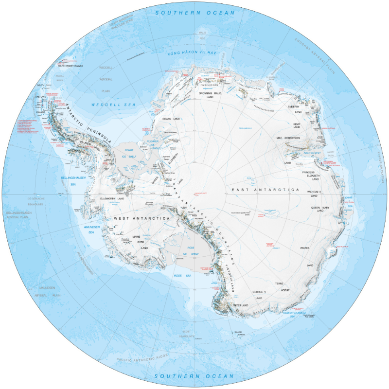
A collection of published, geological maps produced by the British Antarctic Survey. This collection does not contain all geological maps, but will be added to over time.
Most maps are available under an open licence, others can be purchased as paper maps from one of our suppliers, as detailed in each item.
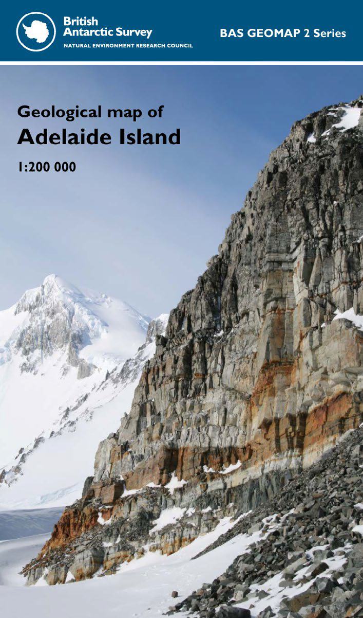
This single-sided geological map covers Adelaide Island of the western Antarctic Peninsula.
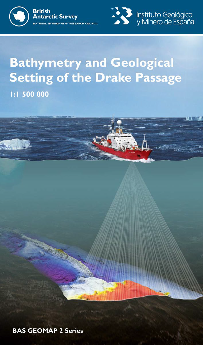
This single-sided map of the geology and bathymetry of the Drake Passage represents an international collaborative effort between many organisations.
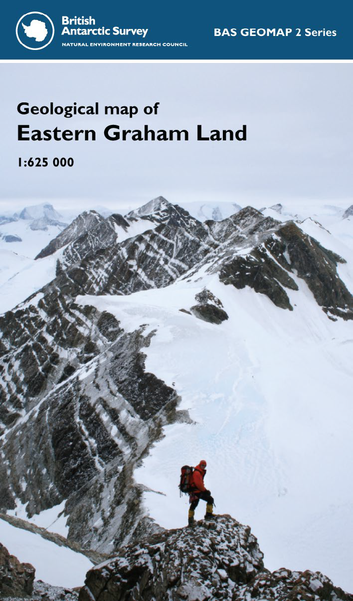
This single-sided geological map covers the eastern sector of Graham Land of the northern Antarctic Peninsula.
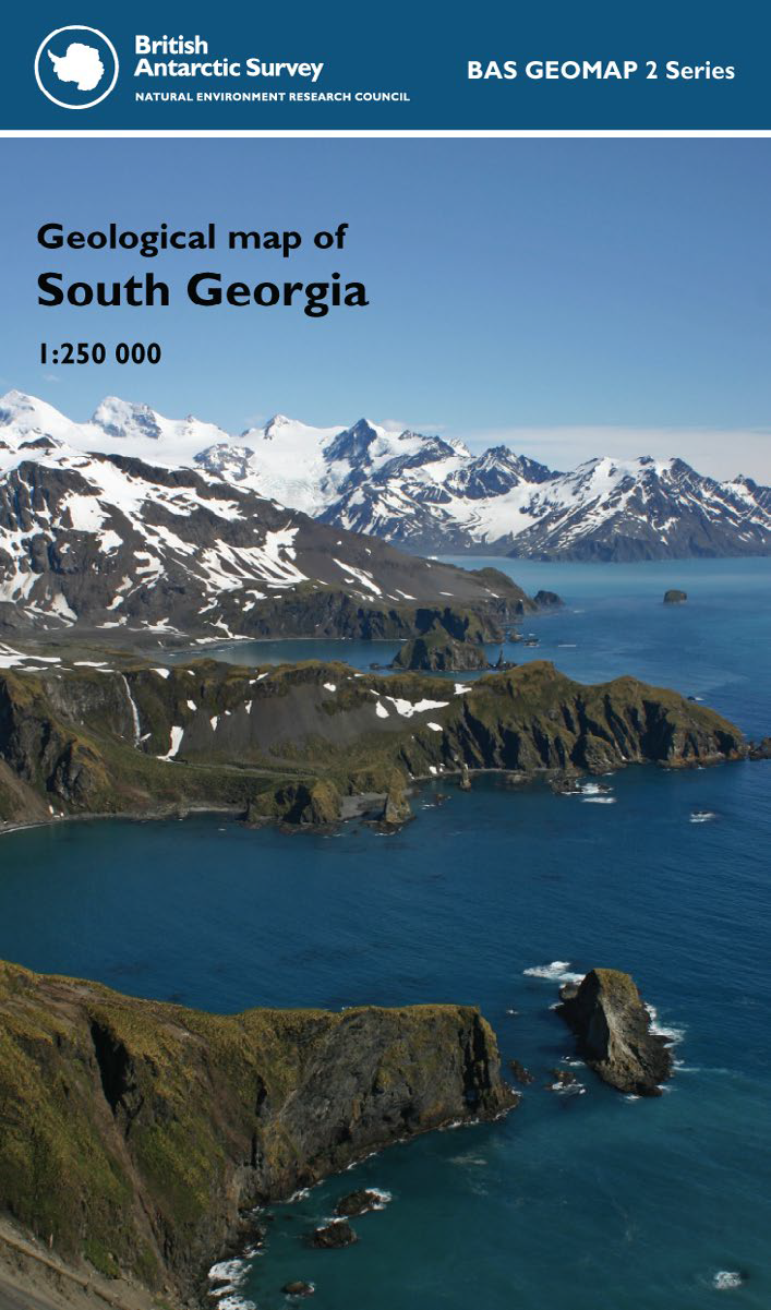
This single-sided geological map of South Georgia covers the entire island and also outlying islands to the west.
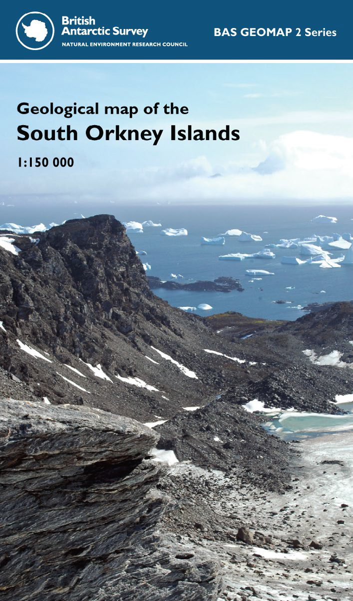
This single-sided geological map covers the South Orkney Islands of the southern Scotia Sea.
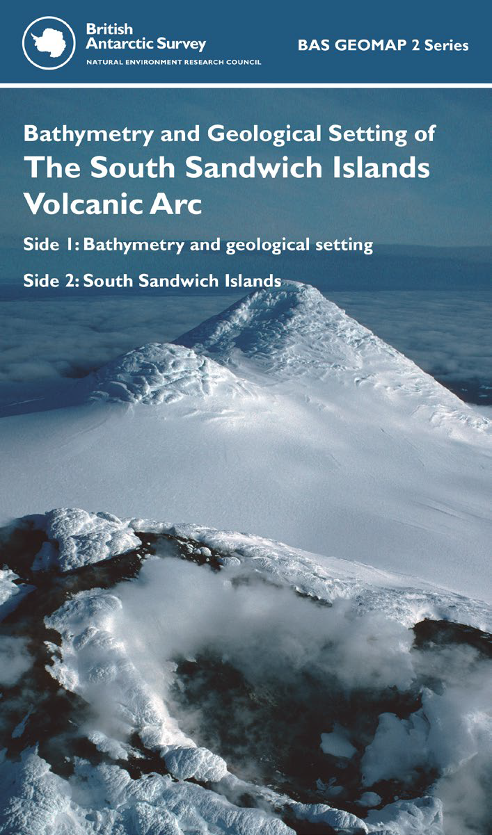
This double-sided map covers the South Sandwich Islands and surrounding area.
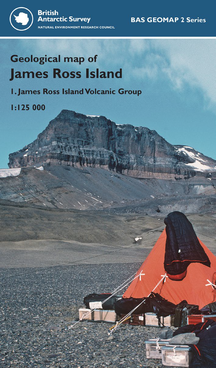
This single-sided geological map covers James Ross Island of the north-eastern Antarctic Peninsula with the map showing the volcanic rocks of the James Ross Island Volcanic Group.
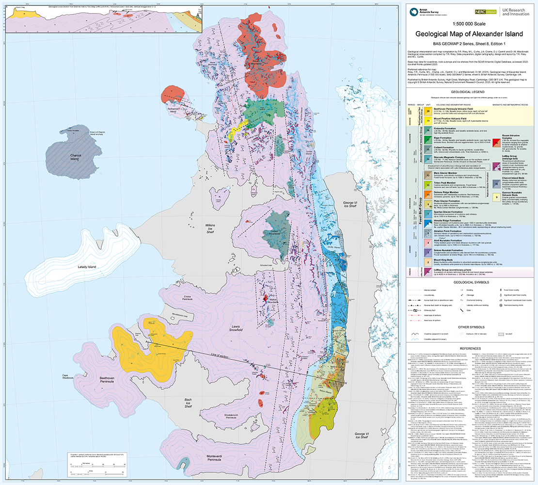
This is one side of a double-sided map. This geological map covers the Alexander Island region at 1:500 000 scale.
Bounding Coordinates
- South-West Corner (min x/y)
- South: -90.0, West: -180.0
- North-East Corner (max x/y)
- North: -52.0, East: 180.0
Part of these collections
A portfolio of maps produced by the Mapping and Geographic Information Centre, British Antarctic Survey.
Item Information
- Item ID
- faaeca6f-e67a-45df-ad6d-10c3049daab3
- Item Type
- COLLECTION
- Item edition
- 8
- Item Created
- Item Published
- Item Updated
- Item Released
- Item Status
- Item is complete and recommended for general use
- Item Update Frequency
- Item may be updated if needed
Metadata Information
- Last updated
- Metadata Standard
- ISO 19115-2 Geographic Information - Metadata - Part 2: Extensions for Imagery and Gridded Data
- Metadata Standard Version
- ISO 19115-2:2009(E)
- Metadata Profiles
- British Antarctic Survey (BAS) Mapping and Geographic Information Centre (MAGIC) Discovery Metadata Profile (v2) External link, opens in a new window.
- British Antarctic Survey (BAS) Mapping and Geographic Information Centre (MAGIC) Administration Metadata Profile (v1) External link, opens in a new window.
- Metadata Licence
- Creative Commons Attribution-NoDerivatives 4.0 International External link, opens in a new window.
- Metadata Links
- Item page build time
Alternative contact methods
By post
British Antarctic SurveyHigh Cross
Madingley Road
Cambridge
Cambridgeshire
CB3 0ET
United Kingdom
By phone
By email
Privacy Notice
If you contact us, your personal information will be retained for up to three years and then deleted. It will only be used to contact you regarding your enquiry. If this item relates to an external organisation, we may share an anonymised version of your enquiry with them to help answer your query.
We use Cloudflare Turnstile, a third-party service, to protect against spam enquires.
See our privacy policy for more information.